About
About This Project
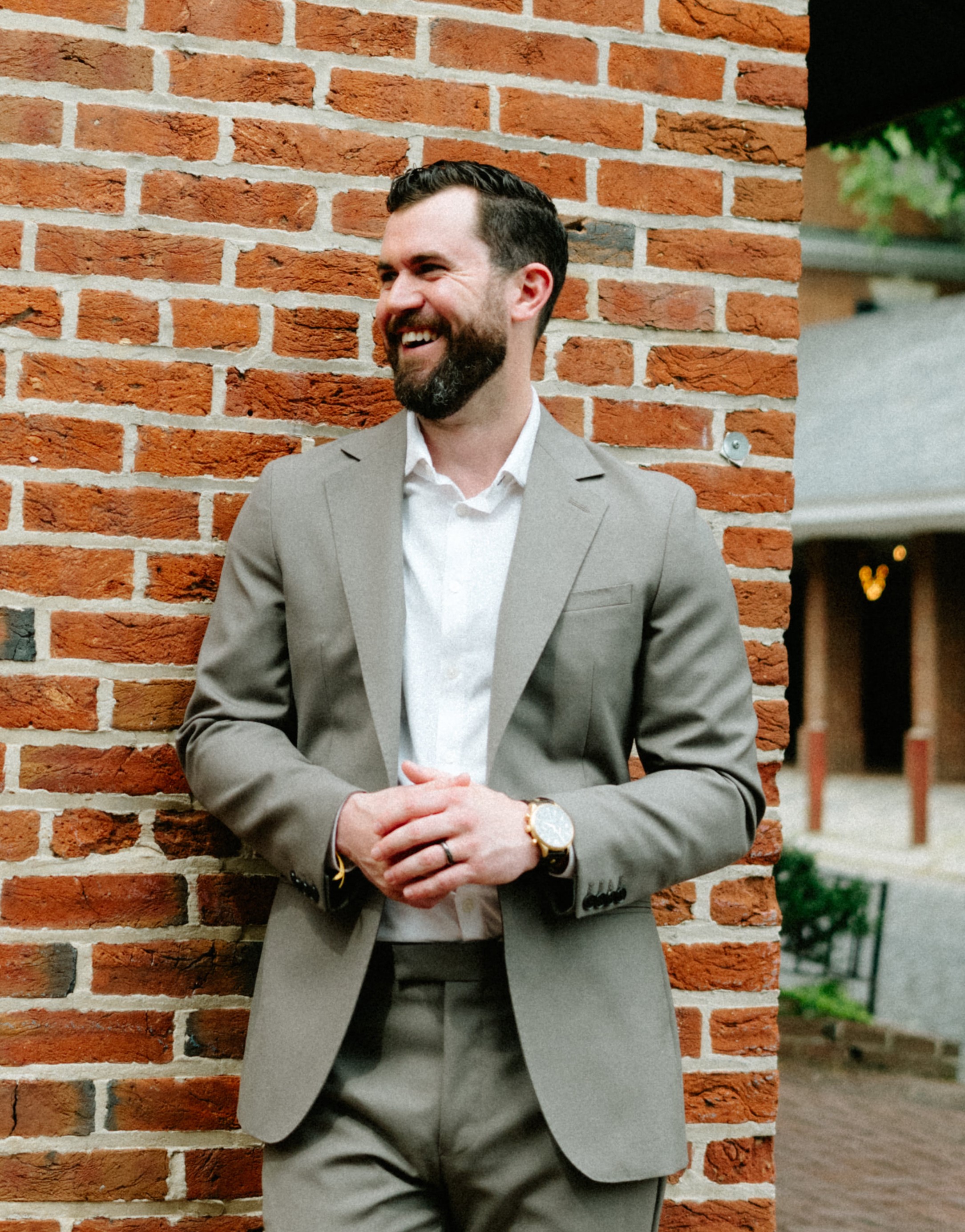
About the author
About the author
Site navigation tutorial
Methods
How the study was done
The Philadelphia City Planning Commission set the precedent for this kind of fieldwork with its Philadelphia Shops surveys in 1989, 1996, and 2004, walking the city's commercial corridors with clipboards and pencils. This study did the same forty years later, with an iPad and a pointer finger, because no municipal system captures parcel-level business tenancy at the granularity this analysis needed.
Fieldwork covered 519 parcels across both corridors in March and April 2026. South Street's 271 parcels were walked five times, on weekday mornings, Friday afternoons, and a Saturday midday; East Passyunk's were walked three times. Each parcel was pre-loaded from Philadelphia's Atlas tool, triangulated with OpenDataPhilly and Google Maps, and coded on the spot across roughly 30 fields. The four anchor variables were vacancy status, structural condition, storefront condition, and business category, with separate trips dedicated to block-level streetscape, walking conditions, and quality of life.
The field survey was joined to public records to build the full picture: Office of Property Assessment data on sales, values, and year built; License and Inspections violation history; Census and American Community Survey demographics back to 1970; and the PCPC Philadelphia Shops inventories for the historical vacancy baseline. Each variable's definition lives in the source line of the figure or table where it appears.
Fieldwork was paired with 17 scheduled interviews across six categories of corridor actor: business-district leaders, civic-association presidents, two City Council offices, the Department of Commerce, business owners, and a retail brokerage. Interviews ran 30 to 60 minutes, in person, over Zoom, and by phone. Each transcript was coded into themes, with AI assistance, and shared back with the interviewee for confirmation. Recurring concerns, absentee landlords, smoke shops, and low housing density, shaped the diagnosis. To protect the people who spoke candidly, this site refers to them by role rather than by name.
A few limitations are worth naming. The study leans toward South Street, with less depth on East Passyunk and on the corridor's pre-1960s history. The four proposals are vision-based recommendations, not financial models, and each still needs a dedicated return-on-investment analysis. The study also had no direct visitation data, such as Placer.ai mobility data, so demand was triangulated from tenant mix, field survey, and interviews rather than measured directly. As a single-researcher project by someone who lives within the corridor's catchment, it carries a resident's perspective, which opened doors but also brings its own framing.
Data
Data and downloads
The data behind this study is open to download and reuse. Interviewee contact information has been removed to protect the people who spoke for it.
- South Street Fieldwork Data Parcel- and block-level field-survey data, with condition, vacancy, tenant, and OPA-enrichment fields. Download XLSX
- Corridor demographics, 1970 to 2020 Population, age, income, and housing for the neighborhoods around both corridors, with a data dictionary and methodology. Download XLSX
- Vacancy and vibrancy analysis The cyclical corridor-health curve and vacancy bellwether, with full sources. Download XLSX
- Critical mass summary The catchment population and density behind the 276 vs 400 benchmark. Download CSV
- Building-level parcel data The flat, analysis-ready parcel dataset, owner names removed. Download CSV
A note on AI
This website is a condensed, interactive companion to the thesis, not a replacement for it. AI tools helped summarize the thesis, adapt it into these web pages, and build the interactive features. Across many iterations, the work was steered to preserve the author's own words, voice, and argument, and every page was reviewed and edited by hand. The complete, fully human work, with the full analysis, methods, and citations, is the thesis itself.
Read the full thesis (PDF)Acknowledgments
Acknowledgments
Thanks to my thesis advisors at Drexel, and to the corridor stakeholders who gave their time and candor in interviews. Their insight shaped both the diagnosis and the proposals.
How to cite
How to cite
Engelhardt, Brandon K. "Saving South Street." Master's thesis, Drexel University, 2026.
Last updated June 2026.